The Problem
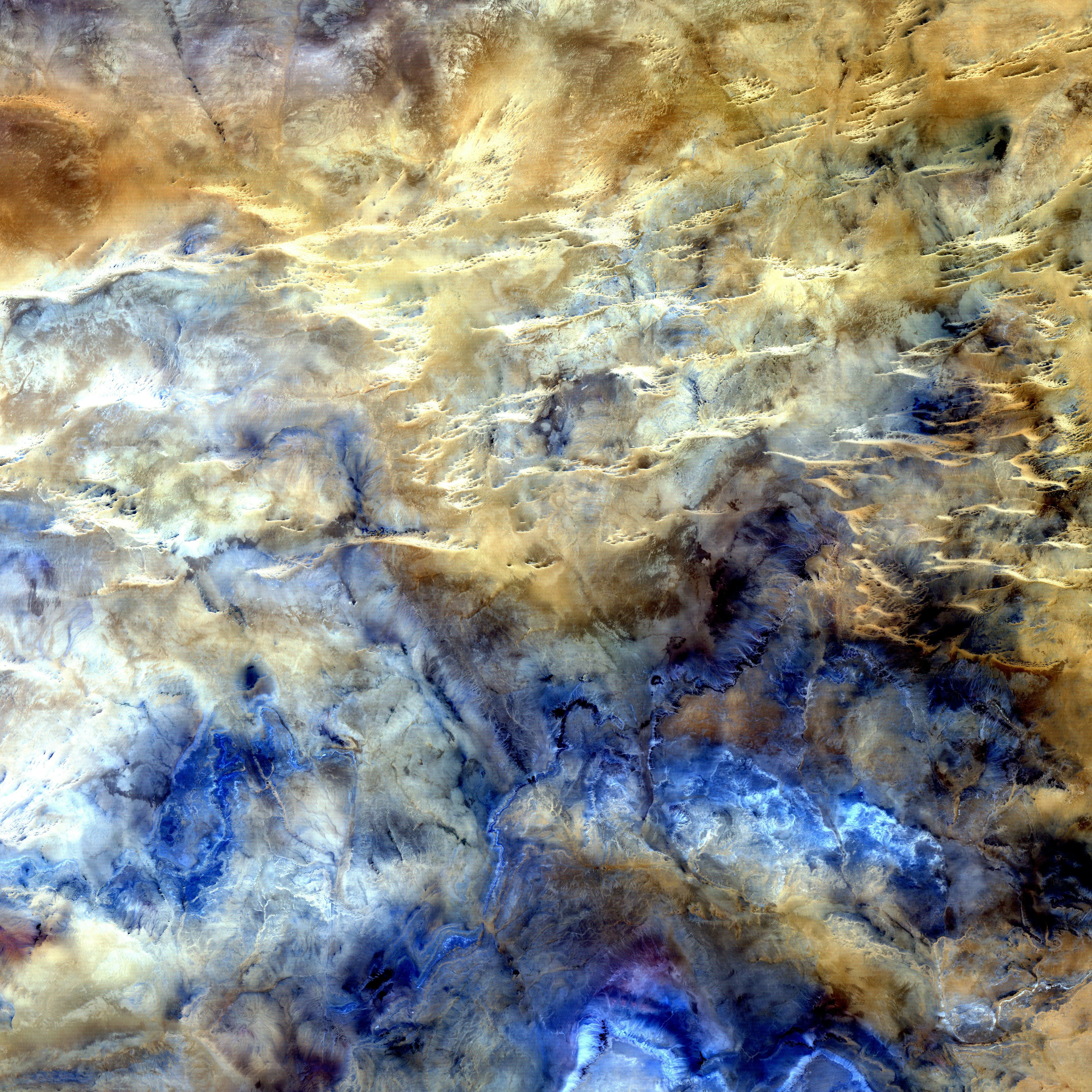
High resolution satellite products provide detailed snapshots of the Earth’s surface. In this working group, our community members examined the capabilities multiple ML techniques trained on Sentinel-2 data to develop accurate and robust land cover classification algorithm across Canada.
Working Group Leads / Advisors
~ Fraser King | Lead
PhD.c @ University of Waterloo, Canada
Dr Andre Erler | Advisor
~ Senior Climate Scientist at Aquanty
Project Recipe
At Aggregate Intellect, we’re contextualizing the world’s technical knowledge! Find below the 25+ resources used to build out this project - contextualized & commented. If you felt it empowered you to build using cool new tech, thank us by telling a friend!
Data
Resulting Project Code & Sample
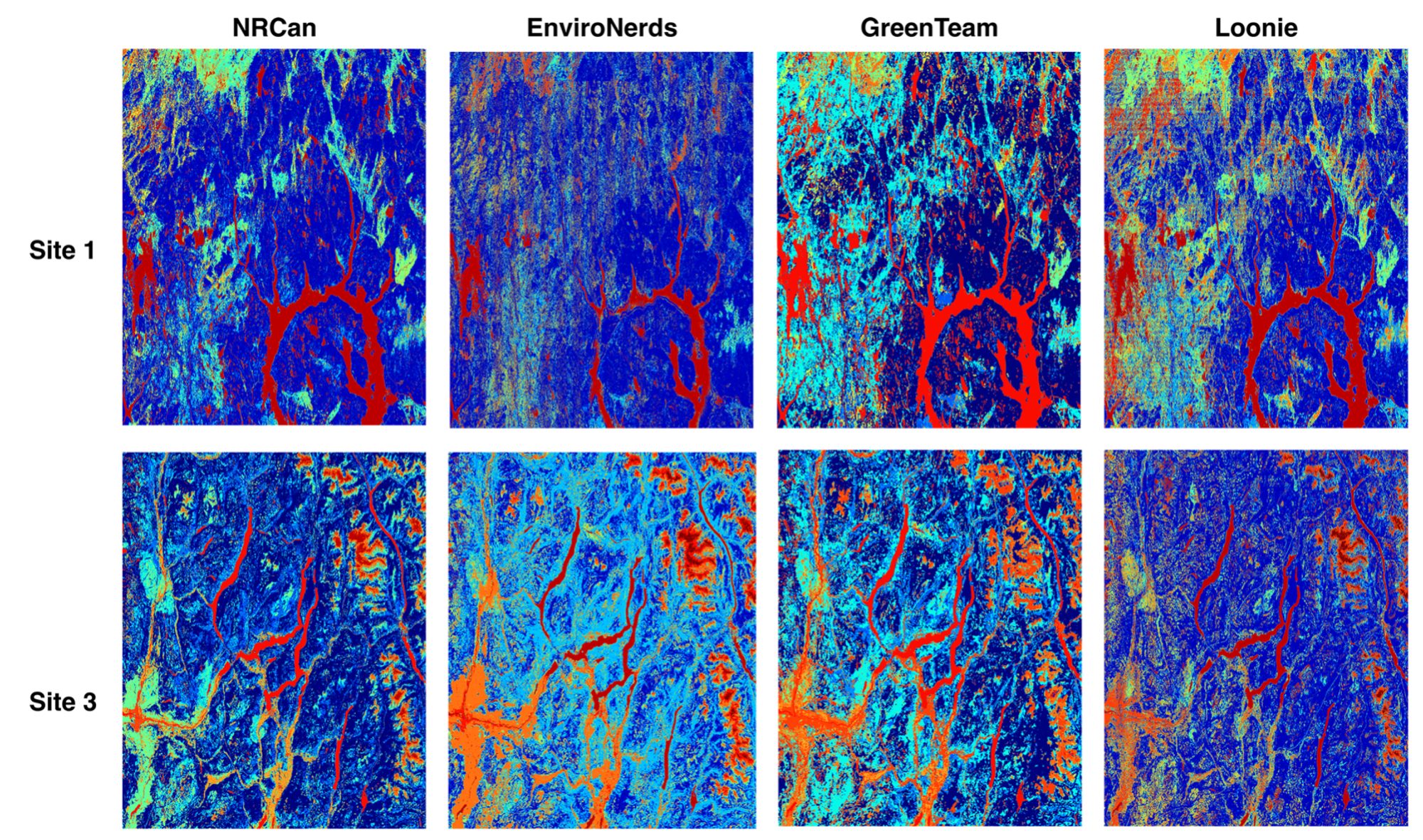
Winners / Contributors
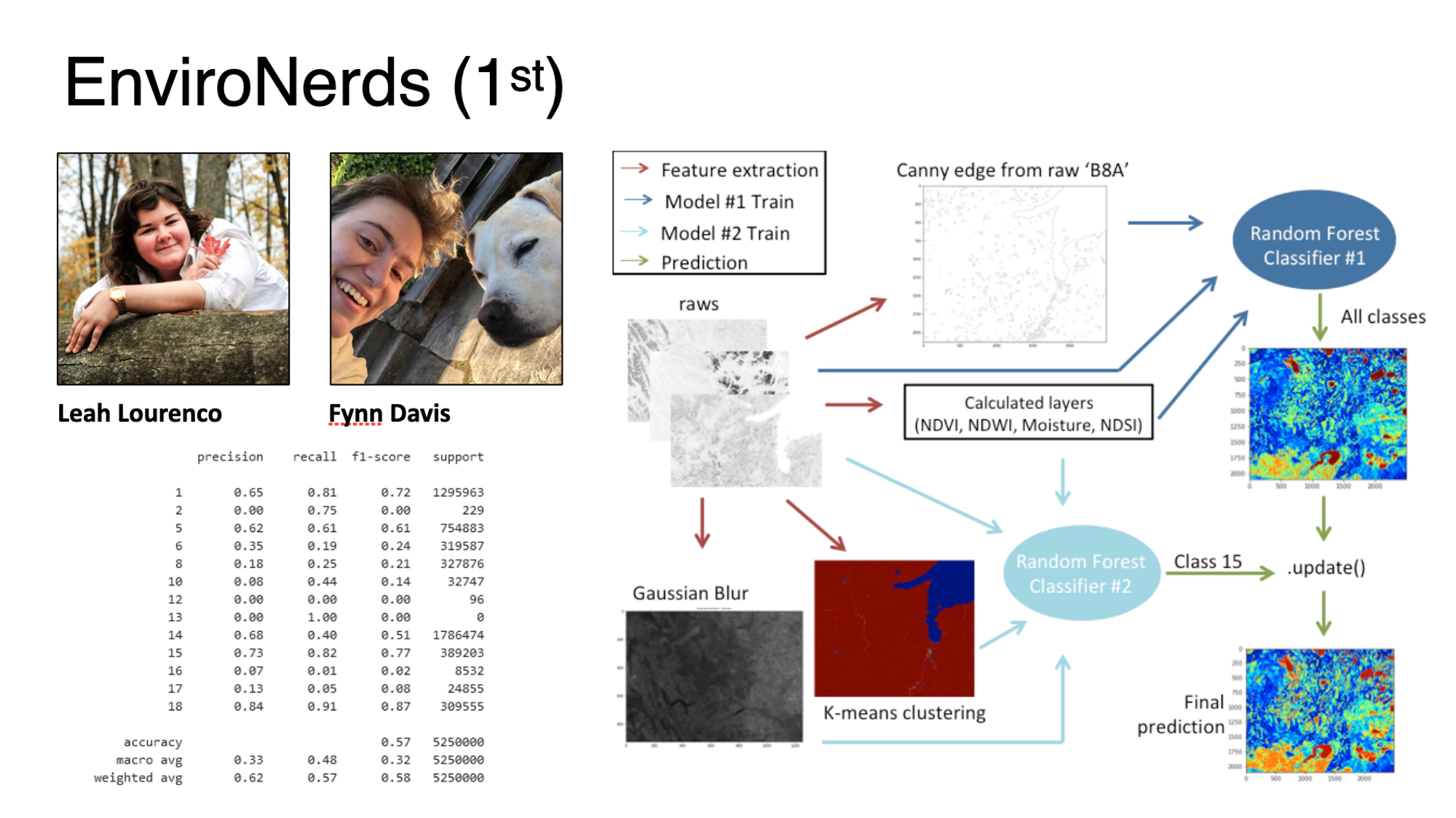
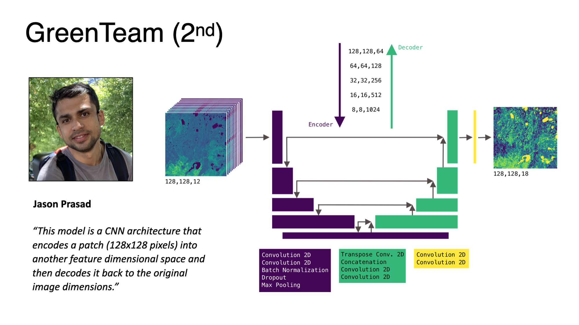
LinkedIn: Jason
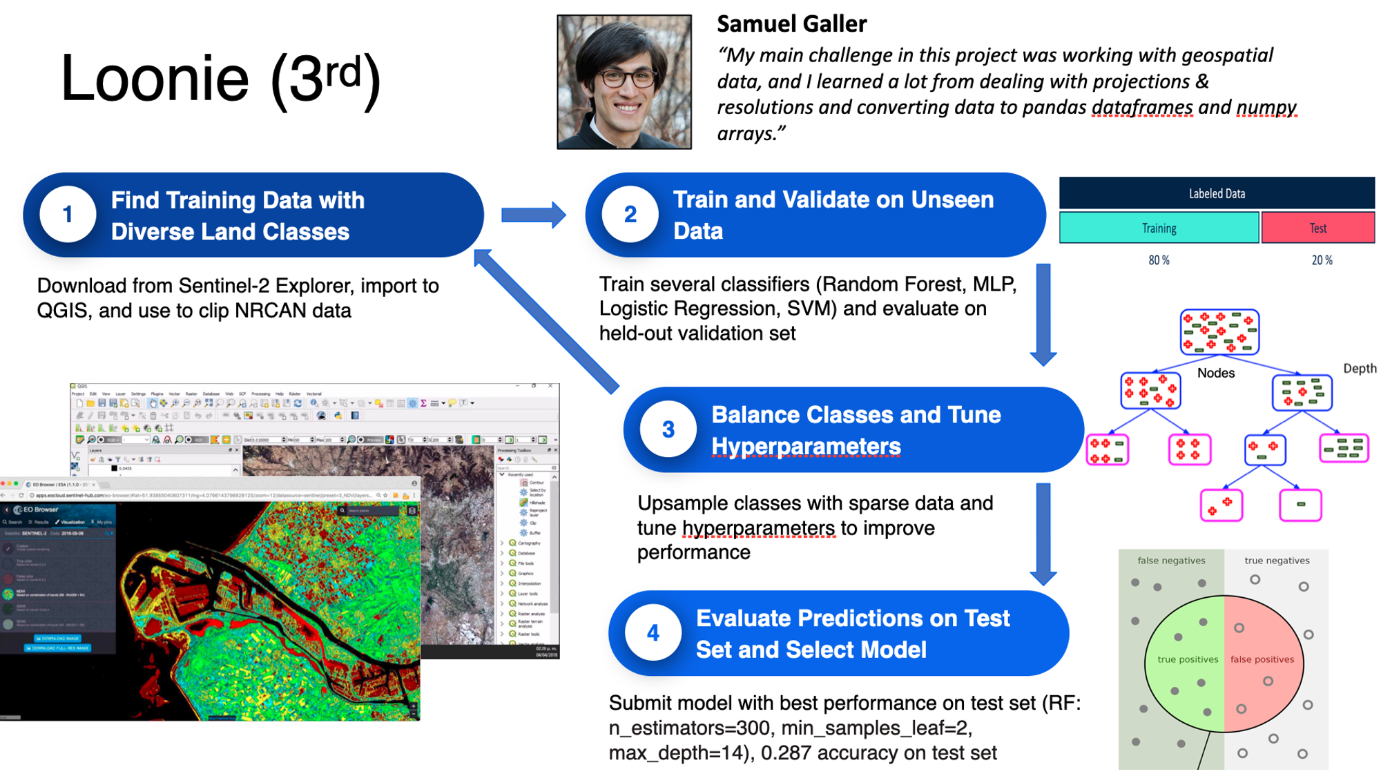
LinkedIn: Samuel
Others who reached the minimal goal
Team Jungle: Sajad yazdanparast, Afshin Amini
Team JP: Paola Andrea, Juan Manuel
Sponsor
Due to the generosity of our sponsor, we were able to give over $4000 in gifts & prizes to participants, leads & advisors.
Wrap-up Session Recording


